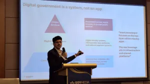
The General Authority for Survey and Geospatial Information wins two awards at the 2025 GovMedia Conference & Awards
The Authority was recognised for its Marine Geospatial Data Infrastructure project as well as its Hydrographic Survey Project of the area extending from Ras Al-Khair to Khafji in the Arabian Gulf.
The General Authority for Survey and Geospatial Information (GEOSA) has won two international awards in 2025 in the Saudi Arabia Infrastructure Project of the Year - Maritime & Ports and Saudi Arabia Research & Development of the Year - Maritime & Ports categories during the Government Media Conference & Awards, organised by GovMedia to honour outstanding government initiatives in the Asia-Pacific region. The awards aim to promote excellence and sustainability whilst highlighting pioneering government models on a regional level.
GEOSA received the Saudi Arabia Infrastructure Project of the Year - Maritime & Ports award for its pioneering project, Marine Geospatial Data Infrastructure, as well as the Saudi Arabia Research & Development of the Year - Maritime & Ports award for the Hydrographic Survey Project of the area extending from Ras Al-Khair to Khafji in the Arabian Gulf (HSP-18). This international recognition reflects the KSA leadership in developing national geospatial infrastructure and underscores its active commitment to international maritime standards. It also embodies GEOSA’s direction toward enhancing the geospatial sector’s contribution to achieving Saudi Vision 2030.
Marine Geospatial Data Infrastructure Project
GEOSA launched the Marine Geospatial Data Infrastructure initiative to build an integrated national system that enhances maritime navigation safety and supports the KSA adherence to international maritime standards. This includes accurate mapping of Saudi marine waters in the Red Sea, Gulf of Aqaba, and Arabian Gulf, along with the production of certified navigational products such as electronic and paper nautical charts, tide and tidal current tables, sailing directions, list of lights and fog signals, and navigational warnings. The initiative aligns with the highest standards of maritime safety and contributes to the development of economic, environmental, and tourism activities.
As the national authority for geospatial data, GEOSA plays a pivotal role in regulating and overseeing the maritime surveying sector within the KSA, whilst also serving as its representative at the International Hydrographic Organization (IHO). Through this mandate, GEOSA strives to enhance the quality and governance of hydrographic survey operations, ensuring safe navigation and improving operational efficiency.
These efforts are in line with the requirements of the International Convention for the Safety of Life at Sea (SOLAS), particularly paragraphs 9 and 27 of Chapter V, regarding hydrographic services and the production and updating of nautical charts and publications. GEOSA supports all marine activities related to economic development, security, scientific research, environmental protection, and the management and organisation of marine geospatial data. The Marine Geospatial Data Infrastructure is one of the strategic projects translating these responsibilities into action.
To date, Saudi marine waters in the Red Sea and Gulf of Aqaba have been fully covered, and 70% of the Arabian Gulf has been surveyed, with full coverage expected by the end of 2026. A total of 101 paper and electronic nautical charts have been produced for the Red Sea and Gulf of Aqaba, and 19 charts are under development for the Arabian Gulf. Additionally, 160 non-navigational charts have been produced to support coastal zone management and environmental decision-making.
GEOSA also operates a National Tide Gauge Network and publishes National tide tables and monthly tide tables supporting marine activities. In 2015, GEOSA launched a Hydrographic Data Management (HDM) database using the CARIS system to support the production and maintenance of charts according to international standards.
Furthermore, GEOSA launched Phase 1 of the Marine Spatial Data Infrastructure (MSDI) platform, a digital platform designed to facilitate access to and sharing of marine data, whilst offering interactive applications for users.
Seaborne Hydrographic Survey Project from RAS AL KHAIR TO AL KHAFJI, ARABIAN GULF (HSP-18)
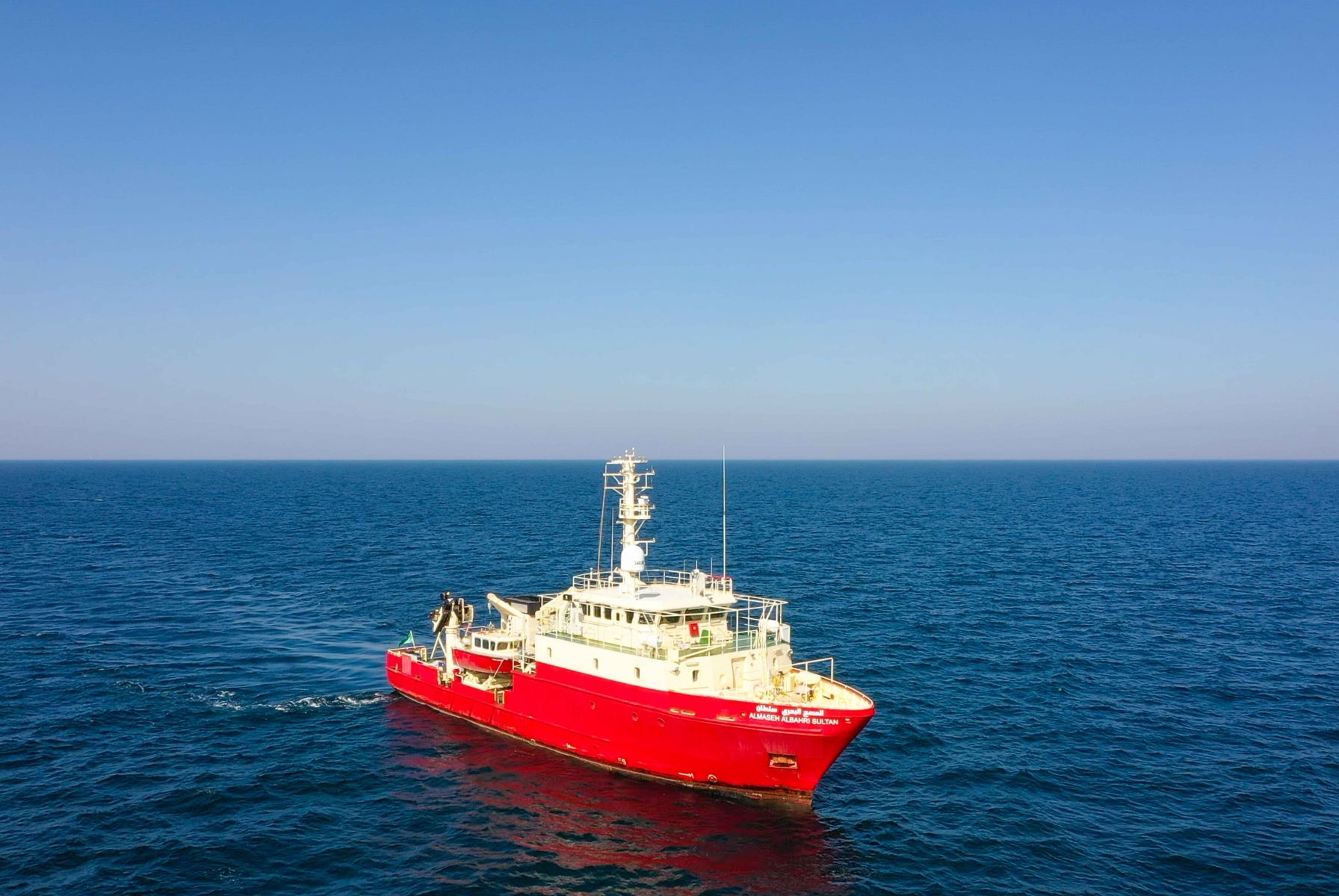
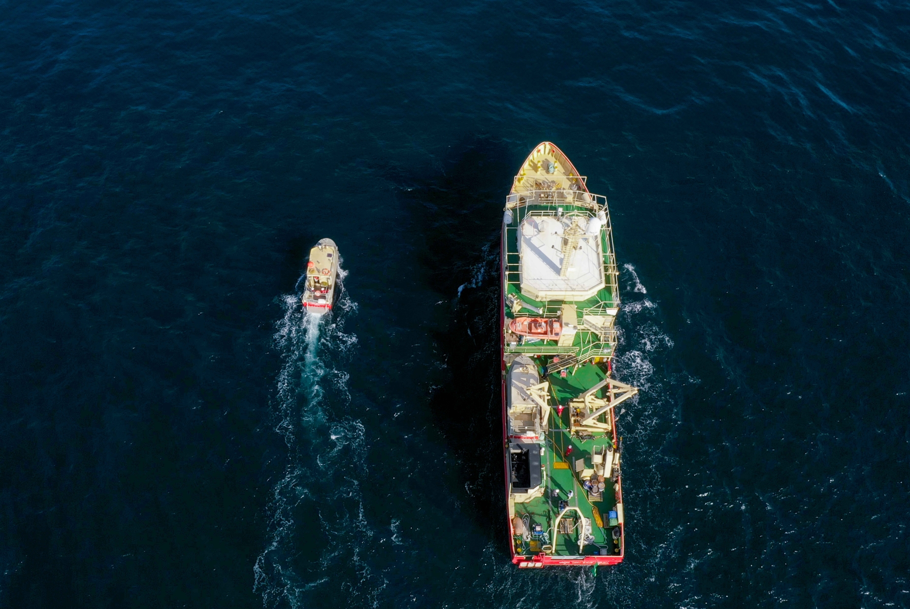
The Hydrographic Survey Project covering the area from Ras Al-Khair to Khafji in the Arabian Gulf is a vital initiative implemented by GEOSA and represents a key step toward completing the comprehensive charting of the KSA waters. The project aims to collect accurate and up-to-date seabed data using advanced technologies, most notably Uncrewed Surface Vessels (USVs), enabling the production of updated nautical charts in compliance with International Hydrographic Organization (IHO) standards. It supports safe maritime navigation and fulfils international commitments, such as those outlined in the SOLAS Convention.
The project covers a strategic marine area of over 9,500 square kilometres in the Arabian Gulf and complements previous surveys conducted in the Red Sea and Gulf of Aqaba. It enhances the geographical and data integration of all the KSA coastline. The project also supports maritime security, environmental protection, and enables better coastal infrastructure planning, whilst contributing to the blue economy by supporting projects in marine transport, mining, and scientific research.
This project stands as a model of innovation in leveraging modern technologies, which have improved operational efficiency, reduced costs, and lowered carbon emissions, demonstrating the KSA commitment to sustainability and the advancement of its marine resource management.
The Gov Media Awards is presented by Gov Media Magazine. To view the full list of winners, click here. If you want to join the 2026 awards programme and be recognised for your organisation's government projects and initiatives, please contact Jane Patiag at [email protected].